English
 العربية
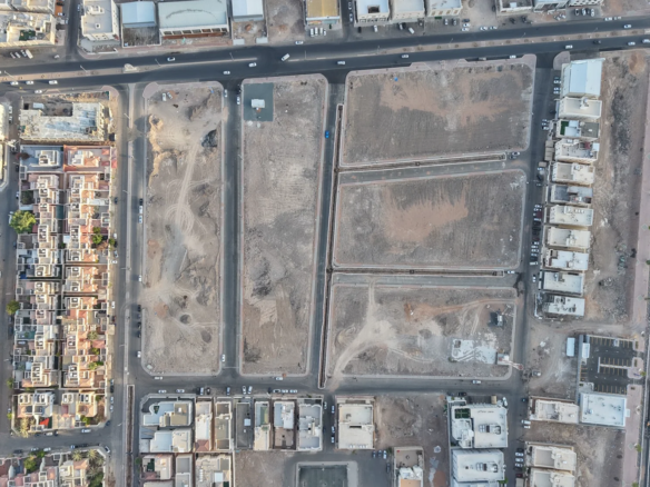
We capture our projects using comprehensive 360° imaging technology, perform aerial geographic photography with advanced drones, and utilize high-resolution cameras to photograph real estate properties, land plots, and commercial stores to the highest quality standards. Additionally, we program and design interactive virtual walkthrough projects that transform static images into immersive digital experiences, enabling clients to explore spaces realistically and engagingly from anywhere.